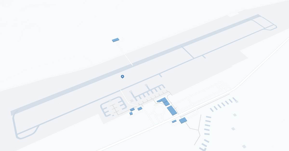
Grand Canyon West Airport (GCW) | Terminal maps | Airport guide

Scroll down for detailed airport maps and terminal information
About Grand Canyon West Airport
Grand Canyon West Airport (GCW), located in Peach Springs, Arizona, serves primarily as a gateway to Grand Canyon West and Skywalk. This airport primarily serves tour operators rather than scheduled airlines, offering flights that offer spectacular aerial views of the Grand Canyon. The terminal is basic, focused on meeting the needs of tour passengers, and includes a waiting area and restrooms. The airport is critical for travelers seeking direct access to one of America's most iconic natural attractions.
Grand Canyon West Airport Information
Airport Address:
Peach Springs, AZ 86434
Contact Number:
Airnav link:
Wikipedia link:
GCW Manager Information
Grand Canyon West Airport Terminal Maps & Guides
GCW Airport Terminal
Grand Canyon West Airport Parking
Grand Canyon West Airport Ground Transportation
Grand Canyon West Airport Hotels
GCW Airport Map and Directions
GCW Airport Diagram
GCW Charts & Navaids
Latitude:
35-59-10.0000N (35.98611111)
Longitude:
113-49-00.9000W (-113.8169167)
Elevation:
4,816.7 feet MSL (1468 m MSL)
Magnetic Variation:
14E
From City:
60 N.M. NW of Peach Springs, Arizona
Found On:
Las Vegas Chart
FAA Region:
AWP