Home USA CA
KCEC

Del Norte County Airport (CEC) | Terminal maps | Airport guide
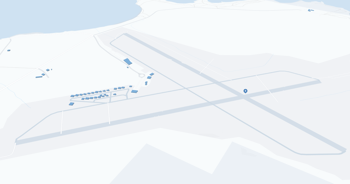
Del Norte County Airport-Jack McNamara Field (CEC) Map
Scroll down for detailed airport maps and terminal information

About Del Norte County Airport

Jack McNamara Field (CEC), also known as Crescent City Airport, is a small regional airport located in Del Norte County, California, near Crescent City. The airport is ideally located about 3 miles northwest of downtown Crescent City, allowing travelers easy access to the Northern California coast and Redwood National and State Parks.

CEC is primarily served by Contour Airlines with scheduled flights to Oakland and Sacramento. These flights provide travelers with greater access to major cities and additional flight routes. 

The airport has a simple layout with a single terminal, providing a quick and efficient check-in and boarding process. While the amenities at Jack McNamara Field Airport are basic, they meet the basic needs of travelers, including car rental services and a comfortable waiting area. Its location makes it a great starting point for travelers visiting the scenic Pacific Coast and majestic Redwood forests.

Del Norte County Airport Information

Airport Address:
1650 Dale Rupert Rd, Crescent City, CA 95531, United States
Official Website:
Contact Number:

CEC Manager Information

Manager:
RANDY HOOPER
Address:
150 DALE RUPERT RD
Telephone:

Del Norte County Airport Terminal Maps & Guides

CEC Airport Terminal

Del Norte County Airport Parking

CEC - Parking

1650 Dale Rupert Rd, Ste 100, Crescent City, CA 95531, United States, Crescent City

(707) 464-7288

Del Norte County Airport Ground Transportation


CEC Airport Shuttle

Redwood Coast Transit

Crescent City , CA 95531

(707) 308-7433 ,(707) 464-6400

CEC Airport Taxi

Crescent Cab

349 Macken Ave , Crescent City , CA 95531

(707) 954-4181

Coastal Cab Company

2150 Lagoon Ave , Crescent city , CA 95531

(707) 458-5708

Del Norte County Airport Rental Cars

Hertz Local Edition - Crescent City
Hours of Operation:
24 Hours, 7 Days a Week
Open For Final Arrival:
Yes

202 Dale Rupert Road, Crescent City

(707) 464-4784

Del Norte County Airport Hotels

Super 8 Crescent City

Located at the south end of Crescent City on Redwood Highway 101 across from Crescent City Harbor. 49 spacious rooms in a quiet, relaxed setting, some with harbor views. Walk across the street to explore the piers and interact with one of the coasts largest active fishing fleets.

Distance from Airport:
Distance from Airport 3.5 miles
Free Airport Shuttle:
No

685 Highway 101, CA, Crescent City, 95531

(800) 800-8000

Curly Redwood Lodge

Our 36 rooms are extra spacious and all are non-smoking. Our ground floor rooms have individual covered parking right in front of the room; upstairs rooms also have covered ground floor parking. Some rooms have a limited harbor view. We offer access to a fax machine (incoming faxes are free), free local calls, as well as complementary coffee and tea in our lobby.

Distance from Airport:
Distance from Airport 3.7 miles
Free Airport Shuttle:
No

701 US Highway 101 South, CA, Crescent City, 95531-4488

(707) 464-2137

Crescent Beach Motel

Beachfront lodging is what we offer. In pure comfort, you can go to sleep to the sound of crashing waves (or shut them out if you prefer) and wake to see the beachfront without lifting your head from pillow. Open the sliding glass door and smell the fresh ocean salt air. It's a dream come true - Oceanfront lodging- at a price you can afford!

Distance from Airport:
Distance from Airport 4.4 miles
Free Airport Shuttle:
No

1455 US Highway 101 S, CA, Crescent City, 95531-8357

(707) 464-5436

Airlines Serving Del Norte County Airport

Del Norte County Airport Routes and Destinations

Del Norte County Airport Weather 11/22/2024

Weather Forecast
Sunny

Tonight

50

Rain and Very Windy

Sunny

Friday

58

Rain and Windy

Sunny

Friday Night

45

Showers

Sunny

Saturday

54

Showers and Breezy

Sunny

Saturday Night

45

Rain Likely and Breezy

Sunny

Sunday

56

Rain and Breezy

Sunny

Sunday Night

45

Rain and Breezy

Sunny

Monday

54

Rain

Sunny

Monday Night

45

Rain

Sunny

Tuesday

54

Rain Likely

Sunny

Tuesday Night

41

Chance Rain

Sunny

Wednesday

54

Chance Rain

Sunny

Wednesday Night

40

Slight Chance Rain

CEC Airport Map and Directions


CEC Airport Diagram

CEC Charts & Navaids

Latitude:
37-37-07.7000N (37.618806)
Longitude:
122-22-31-5000W (-122.375417)
Elevation:
13.1 feet MSL (4 m MSL)
Magnetic Variation:
13.2 E (as of March 2022 from WMM2020 model)
Time Zone:
UTC -8.0 (Standard Time)
UTC -7.0 (Daylight Savings Time)
From City:
08 N.M. SE of San Francisco, California
Found On:
San Francisco Chart
FAA Region:
AWP
Close
press and move the map