Home USA PA
KDUJ

Dubois Airport (DUJ) | Terminal maps | Airport guide
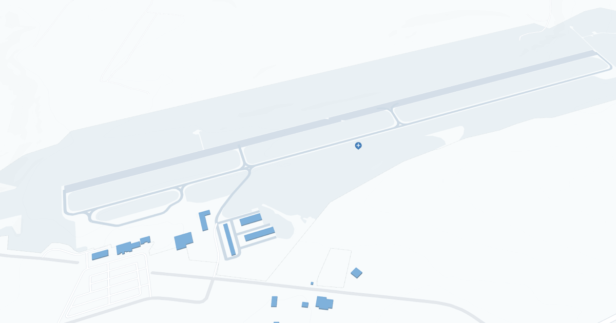
Dubois Regional Airport (DUJ) Map
Scroll down for detailed airport maps and terminal information

About Dubois Airport

Dubois Regional Airport (DUJ), located in the heart of Clearfield County, Pennsylvania, serves as a critical link between the residents and businesses of the Dubois area and the rest of the world. 

This regional airport is primarily served by Southern Airways Express, offering direct flights to Pittsburgh International Airport (PIT). This connection not only facilitates access to a major hub for further domestic and international travel, but also improves the region's transportation accessibility.

The DUJ terminal is compact and designed to provide a simple and efficient travel experience. Within its confines, passengers can take advantage of basic amenities such as a comfortable waiting area and car rental services, providing convenient options for onward travel. Parking is readily available, providing convenient access to the terminal for departing and arriving passengers.

While the airport does not boast the extensive facilities typical of larger airports, its importance to the local community cannot be overstated: it offers essential air transportation in a passenger-friendly environment. 

Dubois Airport Information

Airport Address:
377 Aviation Way, Reynoldsville, PA 15851, United States
Official Website:
Contact Number:

DUJ Manager Information

Manager:
ROBERT W. SHAFFER
Address:
377 AVIATION WAY
Telephone:

Dubois Airport Terminal Maps & Guides

DUJ Airport Terminal

Dubois Airport Parking

DUJ - Parking

377 Aviation Way, Reynoldsville, PA 15851, United States, Reynoldsville

(800) 329-0485

Dubois Airport Ground Transportation


DUJ Airport Taxi

Dubois Taxi Service

225 Maple Ave , DuBois , PA 15801

(814) 375-1352

Dubois Airport Rental Cars

Enterprise Rent-A-Car
Hours of Operation:
24 Hours, 7 Days a Week
Open For Final Arrival:
Yes

621 Division Street, DuBois

(814) 375-5550

Enterprise Rent-A-Car
Hours of Operation:
24 Hours, 7 Days a Week
Open For Final Arrival:
Yes

5290 Airport Road, Reynoldsville

(814) 328-2060

Dubois Airport Hotels

Terrace Motel

The Terrace Motel offers impeccably clean, comfortable accommodations for your business or pleasure trip. We are located north of Dubois at the intersection of US Route 219 and State Route 28 in Brockway, Pennsylvania. Our rates are among the lowest in the area, but we don't sacrifice either quality or service.

Distance from Airport:
Distance from Airport 9.0 miles
Free Airport Shuttle:
No

1529 Main Street, PA, Brockway, 15824-1721

(814) 268-3175

Quality Inn

Conveniently located off Interstate 80, the Quality Inn hotel is less than one mile from the Brookville Historic District featuring Victorian Main Street and its numerous centuries-old homes. This Brookville, PA hotel is also minutes away from local points of interest like Clear Creek State Park, Cook Forest State Park and the BWP Bats baseball bat factory.

Distance from Airport:
Distance from Airport 9..0 miles
Free Airport Shuttle:
No

235 Allegheny Boulevard, PA, Brookville, 15825

(814) 849-8381

Gold Eagle Inn

Situated in historic Brookville, the Gold Eagle Inn provides a perfect base for exploring nearby Cook Forest and Clear Creek State Parks, together containing more than 8,000 acres of spectacular natural beauty. It offers unique and satisfying dining experience for visitors and area residents alike. The rustic country inn was constructed in 1962 from parts of three antique barns, brought in and put together piece-by-piece.

Distance from Airport:
Distance from Airport 12.0 miles
Free Airport Shuttle:
No

I-80 Pennsylvania 36, PA, Brookville, 15825

(814) 849-8251

Airlines Serving Dubois Airport

Dubois Airport Routes and Destinations

Dubois Airport Weather 11/21/2024

Weather Forecast
Sunny

Overnight

32

Partly Cloudy

Sunny

Thursday

36

Chance Snow then Snow Likely

Sunny

Thursday Night

30

Snow Likely then Snow

Sunny

Friday

38

Snow

Sunny

Friday Night

34

Rain Likely

Sunny

Saturday

43

Rain

Sunny

Saturday Night

36

Chance Rain then Chance Rain/Snow

Sunny

Sunday

44

Mostly Cloudy

Sunny

Sunday Night

35

Mostly Cloudy then Chance Rain

Sunny

Monday

50

Chance Rain

Sunny

Monday Night

38

Rain

Sunny

Tuesday

44

Chance Rain then Chance Rain/Snow

Sunny

Tuesday Night

30

Chance Snow

DUJ Airport Map and Directions


DUJ Airport Diagram

DUJ Charts & Navaids

Latitude:
37-37-07.7000N (37.618806)
Longitude:
122-22-31-5000W (-122.375417)
Elevation:
13.1 feet MSL (4 m MSL)
Magnetic Variation:
13.2 E (as of March 2022 from WMM2020 model)
Time Zone:
UTC -8.0 (Standard Time)
UTC -7.0 (Daylight Savings Time)
From City:
08 N.M. SE of San Francisco, California
Found On:
San Francisco Chart
FAA Region:
AWP
Close
press and move the map