Home USA WA
KFHR

Friday Harbor Airport (FHR) | Terminal maps | Airport guide
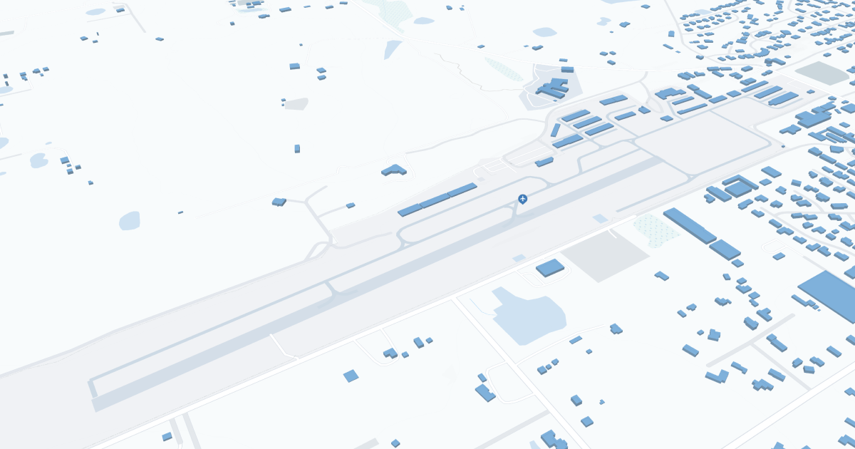
Friday Harbor Airport (FHR) Map
Scroll down for detailed airport maps and terminal information

About Friday Harbor Airport

Friday Harbor Airport (FHR) is located on San Juan Island in Washington State and serves as a key gateway to the San Juan Islands. It is primarily served by regional airlines such as Kenmore Air and San Juan Airlines, offering direct flights to Seattle and other nearby destinations for easy access to this scenic archipelago. The terminal is modest but functional, with basic amenities such as a waiting area and rental cars for exploring the island. Although compact, FHR's location and services make it an important hub for tourists and islanders, connecting them to the mainland and other countries.

Friday Harbor Airport Information

Airport Address:
800 Franklin Rd, Friday Harbor, WA 98250, United States
Contact Number:

FHR Manager Information

Manager:
MIKE OTIS
Address:
PO BOX 889
Telephone:

Friday Harbor Airport Terminal Maps & Guides

FHR Airport Terminal

Friday Harbor Airport Parking

FRD - Parking

800 Franklin Rd, Friday Harbor, WA 98250, United States, Friday Harbor

(360) 378-4724

Friday Harbor Airport Ground Transportation


FHR Airport Transit

Bellair Charters

Friday Harbor , WA 98250

(866) 235-5247

Island Airporter

Friday Harbor , WA 98250

(360) 378-7438

FHR Airport Shuttle

Island Airporter

Granny's Wy , Friday Harbor , WA 98250

(360) 378-7438

FHR Airport Taxi

Eco Taxi

Friday Harbor , WA 98250

(360) 777-7572

Bob's Taxi & Tours

2210 Boundry Point Rd , Friday Harbor , WA 98250

(360) 378-6777

Friday Harbor Taxi

Friday Harbor , WA 98250

(360) 298-4434

Friday Harbor Airport Rental Cars

M & W Auto Sales & Rentals
Hours of Operation:
24 Hours, 7 Days a Week
Open For Final Arrival:
Yes

725 Spring St, Friday Harbor, WA 98250, Friday Harbor

(360) 378-2886

Friday Harbor Airport Hotels

WorldMark Deer Harbor

Welcome to Deer Harbor, Washington! This beautiful town is located in Orcas Island, right between Washington and Vancouver, perfect for enjoying the beautiful sights of the Pacific Northwest. The surrounding land protects the San Juan Islands from the harsh northern weather. There is a wonderful mix of art, culture and adventurous nature trails, forests, and lakes for any type of vacation you're looking for.

Distance from Airport:
Distance from Airport 6.7 miles

31 Jack and Jill Pl, Deer Harbor, WA 98243, WA, Deer Harbor, 98243

(360) 376-4420

Bird Rock Hotel

Located just three blocks from the Washington State Ferry terminal, the delightful Bird Rock Hotel is the ideal base for the active adventurers, the bicyclists, the birders, the kayakers and travelers, who leave their horseless carriage on the mainland. And if you do bring the car, we offer parking a few blocks away at our sister hotel, the Earthbox Inn & Spa.

Distance from Airport:
Distance from Airport 0.8 miles

35 First St N, Friday Harbor, WA 98250, WA, Friday Harbor, 98250

(360) 378-5848

Lakedale

A resort in the San Juan Islands that is so much more. 82-acres of Pacific Northwest magic with room to roam. The perfect launchpad for outdoor adventures with your family, romantic getaways, recharging in nature, and making memories all year round.

Distance from Airport:
Distance from Airport 4,3 miles

4313 Roche Harbor Rd, Friday Harbor, WA 98250, WA, Friday Harbor, 98250

(360) 378-2350

Airlines Serving Friday Harbor Airport

Friday Harbor Airport Weather 11/21/2024

Weather Forecast
Sunny

Tonight

43

Chance Showers

Sunny

Thursday

51

Showers Likely

Sunny

Thursday Night

43

Showers

Sunny

Friday

55

Showers and Breezy

Sunny

Friday Night

44

Showers

Sunny

Saturday

52

Showers

Sunny

Saturday Night

43

Showers

Sunny

Sunday

52

Showers Likely

Sunny

Sunday Night

40

Chance Rain/Snow

Sunny

Monday

50

Chance Rain/Snow

Sunny

Monday Night

39

Chance Showers then Slight Chance Rain/Snow

Sunny

Tuesday

49

Slight Chance Rain/Snow then Slight Chance Showers

Sunny

Tuesday Night

39

Slight Chance Showers

FHR Airport Map and Directions


FHR Airport Diagram

FHR Charts & Navaids

Latitude:
37-37-07.7000N (37.618806)
Longitude:
122-22-31-5000W (-122.375417)
Elevation:
13.1 feet MSL (4 m MSL)
Magnetic Variation:
13.2 E (as of March 2022 from WMM2020 model)
Time Zone:
UTC -8.0 (Standard Time)
UTC -7.0 (Daylight Savings Time)
From City:
08 N.M. SE of San Francisco, California
Found On:
San Francisco Chart
FAA Region:
AWP
Close
press and move the map