Home USA WV
KHTS

Tri-State Airport (HTS) | Terminal maps | Airport guide
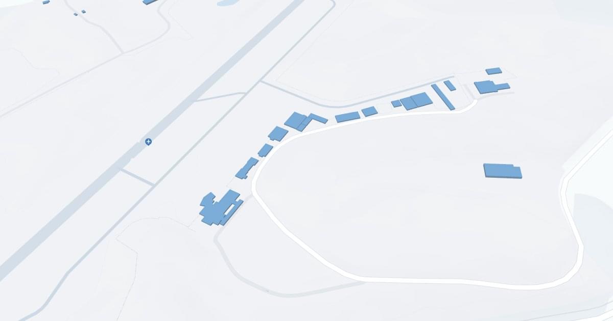
Tri-State Airport-Milton J Ferguson Field (HTS) Map
Scroll down for detailed airport maps and terminal information

About Tri-State Airport

Tri-State/Milton J. Ferguson Field (HTS) Airport, located in Huntington, West Virginia, serves as a key air transportation hub for the Tri-State region, which includes parts of Kentucky, Ohio, and West Virginia. The airport is served by American Airlines, offering direct flights to Charlotte, from where passengers can access a wide network of destinations throughout the United States and abroad. 

The airport's HTS terminal is equipped with all the necessary amenities to ensure a smooth and comfortable travel experience for passengers. These include parking with easy access to the terminal, car rental services for traveling throughout the region, and cab services for convenient local transportation. 

HTS plays an important role for travelers in the region by providing vital air service that supports local business, tourism and personal travel. 

Tri-State Airport Information

Airport Address:
1449 County Route 3/1, Huntington, WV 25704, United States
Contact Number:

HTS Manager Information

Manager:
BRENT BROWN
Address:
1449 AIRPORT ROAD
Telephone:

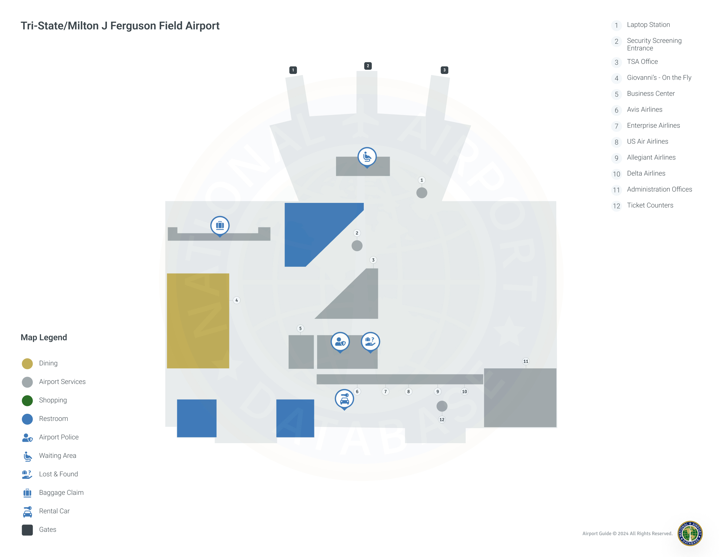
Tri-State Airport Terminal Maps & Guides

HTS Airport Terminal

Tri-State Airport Parking

HTS - Parking

1449 County Route 3/1, Huntington, WV 25704, United States, Huntington

(304) 453-6165

Tri-State Airport Ground Transportation


HTS Airport Taxi

Yellow Cab

125 8th Ave W , Huntington , WV 25701

(304) 529-7131

D&A Taxi Services

Huntington , WV 25704

(304) 939-3764

TaxiTommy Car Service

301 9th St , Huntington , WV 25701

(304) 691-9616

HTS Airport Limo

Pure Elegance Limousine Service, LLC

2487 Addison Pike , Gallipolis , OH 45631

(740) 367-7777

Tri-State Airport Rental Cars

Enterprise Rent-A-Car
Hours of Operation:
24 Hours, 7 Days a Week
Open For Final Arrival:
Yes

2101 Winchester Ave, Ashland

(606) 324-8829

Hertz Rent A Car
Hours of Operation:
24 Hours, 7 Days a Week
Open For Final Arrival:
Yes

1001 Winchester Avenue, Ashland

(606) 324-1644

Enterprise Rent-A-Car
Hours of Operation:
24 Hours, 7 Days a Week
Open For Final Arrival:
Yes

312 4th Avenue, Huntington

(304) 529-2755

Tri-State Airport Hotels

Ashland Plaza Hotel

There is something magical about the Ashland Plaza Hotel and Convention Center experience. Whether it is your first, second, or third stay with us let us accommodate you with our newly remodeled rooms and excellent staff. We promise we will have you coming back to Ashland, KY sooner than you think !

Distance from Airport:
Distance from Airport 12.0 miles
Free Airport Shuttle:
Yes

1441 Winchester Avenue, KY, Ashland, 41101

(606) 329-0055

Quality Inn

The Quality Inn hotel is conveniently located just two miles from the Ashland Area Art Gallery. This Ashland, KY hotel is near many area attractions, including Camden Park amusement park, Greenbo Lake and the Highlands Museum & Discovery Center Enjoy the great outdoors in Central Park, a 47-acre, wooded getaway in the middle of downtown Ashland.

Distance from Airport:
Distance from Airport 9.0 miles
Free Airport Shuttle:
Yes

4708 Winchester Avenue, KY, Ashland, 41101

(606) 325-8989

Knights Inn

Welcome to the Knights Inn of Ashland, Kentucky. Conveniently located just 5 miles off I-64 and Route 23. Located 5 miles from The Paramount Arts Center. AK Steel, Marathon-Ashland and Kentucky Electric Steel Refineries are all within 10 miles of the property.

Distance from Airport:
Distance from Airport 8.7 miles
Free Airport Shuttle:
No

7216 US Route 60, KY, Ashland, 41102-9519

(606) 928-9501

Airlines Serving Tri-State Airport

Tri-State Airport Routes and Destinations

Tri-State Airport Weather 11/21/2024

Weather Forecast
Sunny

Overnight

36

Partly Cloudy

Sunny

Thursday

42

Rain/Snow Likely

Sunny

Thursday Night

32

Snow Showers

Sunny

Friday

45

Rain/Snow Likely then Showers Likely

Sunny

Friday Night

40

Showers Likely

Sunny

Saturday

52

Slight Chance Showers

Sunny

Saturday Night

36

Partly Cloudy

Sunny

Sunday

58

Mostly Sunny

Sunny

Sunday Night

44

Mostly Cloudy

Sunny

Monday

63

Chance Showers

Sunny

Monday Night

49

Showers

Sunny

Tuesday

59

Chance Showers

Sunny

Tuesday Night

40

Chance Showers

HTS Airport Map and Directions


HTS Airport Diagram

HTS Charts & Navaids

Latitude:
37-37-07.7000N (37.618806)
Longitude:
122-22-31-5000W (-122.375417)
Elevation:
13.1 feet MSL (4 m MSL)
Magnetic Variation:
13.2 E (as of March 2022 from WMM2020 model)
Time Zone:
UTC -8.0 (Standard Time)
UTC -7.0 (Daylight Savings Time)
From City:
08 N.M. SE of San Francisco, California
Found On:
San Francisco Chart
FAA Region:
AWP
Close
press and move the map