Home USA KS
KICT

Wichita Airport (ICT) | Terminal maps | Airport guide
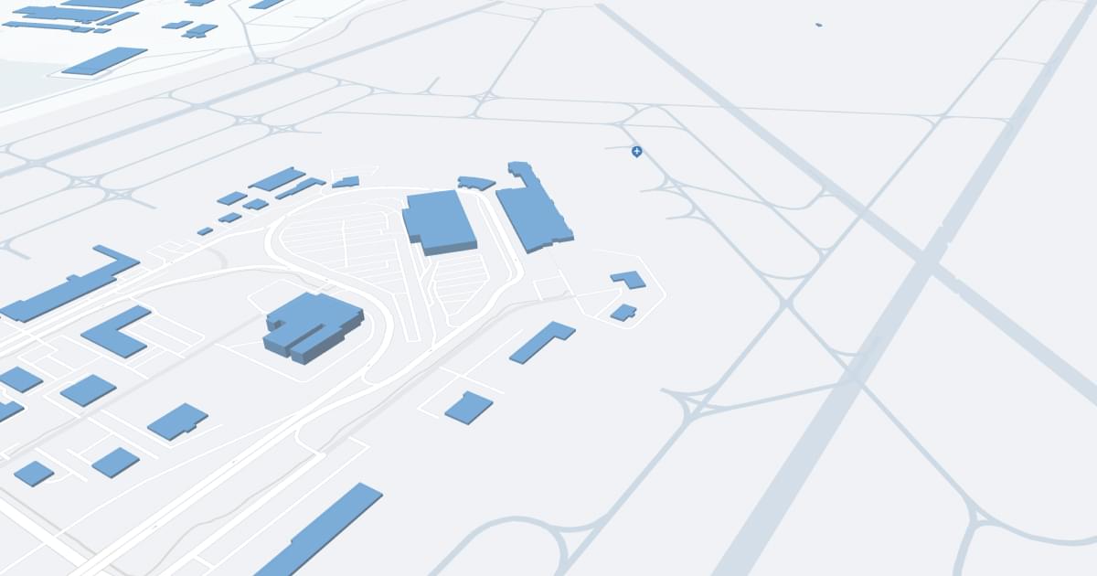
Wichita Dwight D Eisenhower National Airport (ICT) Map
Scroll down for detailed airport maps and terminal information

About Wichita Airport

Dwight D. Eisenhower National Wichita Airport (ICT), located in Wichita, Kansas, is the state's largest airport, providing a critical gateway to South Central Kansas. The airport is served by several major airlines, including American Airlines, Delta Air Lines, Southwest Airlines, United Airlines, Alaska Airlines, and Allegiant Air. These carriers offer direct flights to key hubs and destinations such as Dallas/Fort Worth, Atlanta, Chicago, Denver, Las Vegas, Minneapolis, Phoenix, St. Louis and Seattle, expanding options for business and leisure travelers.

The airport features a modern terminal with many amenities designed to provide a comfortable and convenient travel experience. Amenities include numerous restaurants ranging from quick snacks to set lunches, retail stores for shopping, free Wi-Fi to help passengers stay connected, and comfortable waiting areas. For added convenience, ICT offers a variety of parking options including short-term, long-term and economy parking, as well as an on-site car rental center. Cab and ride-sharing services are available for efficient transportation to and from the airport.

The Dwight D. Eisenhower Wichita National Airport plays an important role in the region's travel and commerce, supporting the local economy and providing important connections to national and international destinations, making it an indispensable asset for travelers arriving in and departing from Wichita.

Wichita Airport Information

Airport Address:
2277 Eisenhower Airport Pkwy, Wichita, KS 67209
Official Website:
Contact Number:

ICT Manager Information

Manager:
MR. VICTOR WHITE, A.A.E.
Address:
2173 AIR CARGO ROAD
Telephone:

Wichita Airport Terminal Maps & Guides

ICT Airport Terminal

Wichita Airport Parking

Parking

340 S Laura Ave, Wichita, KS 67211, Wichita

(316) 263-2685

Petroleum Building

221 S Broadway Ave, Wichita, KS 67202, Wichita

(316) 265-7388

Standard Parking

123 N Broadway Ave, Wichita, KS 67202, Wichita

(316) 265-4267

Wichita Airport Ground Transportation


ICT Airport Transit

Wichita Transit

214 S Topeka , Wichita , KS 67202

(316) 265-7221

ICT Airport Shuttle

Wichita Airport Shuttle

Wichita , KS 67209

(316) 665-1990

Tornado Transit

Wichita , KS 67208

(316) 650-5080

Emu Express

2277 Eisenhower Airport Pkwy , Wichita , KS 67209

(316) 946-4022

MBSCORP@GMAIL.COM

ICT Airport Taxi

Best Cabs

2555 N Market St , Wichita , KS 67219

(316) 838-2233 ,(316) 838-1651

American Cab

400 Greenwood St , Wichita , KS 67211

(316) 262-7511

ABC Taxi

400 Greenwood St , Wichita , KS 67211

(316) 264-4222

ICT Airport Limo

Emu Express

2277 Eisenhower Airport Pkwy , Wichita , KS 67209

(316) 946-4022

MBSCORP@GMAIL.COM

All Class Limo

Wichita , KS 67209

(316) 247-5466

Wichita Airport Rental Cars

Alamo Rent A Car
Hours of Operation:
24 Hours, 7 Days a Week
Open For Final Arrival:
Yes

2280 S Eisenhower Airport Pkwy, Wichita

(833) 828-5708

Budget Rent A Car
Hours of Operation:
24 Hours, 7 Days a Week
Open For Final Arrival:
Yes

2277 Eisenhower Airport Pkwy, Wichita

(316) 866-3860

Avis Rent A Car
Hours of Operation:
24 Hours, 7 Days a Week
Open For Final Arrival:
Yes

2280 S Eisenhower Airport Pkwy, Wichita

(316) 946-4882

Wichita Airport Hotels

Howard Johnson by Wyndham Wichita Airport

Welcome to our Howard Johnson by Wyndham Wichita Airport hotel, conveniently located just outside the I-235 Beltway, two miles from Wichita Dwight D. Eisenhower National Airport (ICT). We offer affordable accommodations and easy access to Wichita State University and the Century II Performing Arts & Convention Center.

Distance from Airport:
Distance from Airport 2.0 miles
Free Airport Shuttle:
Yes

6575 W Kellogg, KS, Wichita, 67209

(316) 234-1053

Red Roof Inn & Conference Center Wichita Airport

The family-friendly, 100% smoke-free Red Roof Inn & Conference Center Wichita Airport is just two miles from the Wichita Mid-Continent Airport. The sights and sounds of the city are never far away. We are close to many of Wichita’s main attractions—including the Cotillion Ballroom, Towne West Mall, Wichita Museums on the River, Intrust Bank Arena, Sedgwick County and Tanganyika Zoo and many more! We offer our guests free Wi-Fi, a free expanded cable package featuring HBO and free coffee in the lobby. Red Roof Inn & Conference Center Wichita Airport is a pet-friendly hotel.

Distance from Airport:
Distance from Airport 1.5 miles
Free Airport Shuttle:
Yes

6815 W Kellogg Dr, KS, Wichita, 67209

(316) 942-5600

Hampton Inn & Suites Wichita/Airport

We're off I-235, four minutes from Wichita Dwight D. Eisenhower National Airport. Our free shuttle has your transportation needs covered. The Kansas Sports Hall of Fame, and Century II Performing Arts & Convention Center are six miles away. Wichita State University is a 15-minute drive. Start your day with our free hot breakfast. WiFi's on us.

Distance from Airport:
Distance from Airport 1.1 miles
Free Airport Shuttle:
Yes

7230 W Harry, KS, Wichita, 67209

(316) 942-2000

Airlines Serving Wichita Airport

Wichita Airport Routes and Destinations

Wichita Airport Weather 11/21/2024

Weather Forecast
Sunny

Overnight

31

Clear

Sunny

Thursday

51

Sunny

Sunny

Thursday Night

28

Clear

Sunny

Friday

56

Sunny

Sunny

Friday Night

34

Mostly Clear

Sunny

Saturday

61

Mostly Sunny

Sunny

Saturday Night

44

Partly Cloudy

Sunny

Sunday

63

Mostly Sunny

Sunny

Sunday Night

34

Mostly Cloudy

Sunny

Monday

49

Mostly Sunny

Sunny

Monday Night

28

Partly Cloudy

Sunny

Tuesday

46

Partly Sunny

Sunny

Tuesday Night

30

Mostly Cloudy

ICT Airport Map and Directions


ICT Airport Diagram

ICT Charts & Navaids

Latitude:
37-37-07.7000N (37.618806)
Longitude:
122-22-31-5000W (-122.375417)
Elevation:
13.1 feet MSL (4 m MSL)
Magnetic Variation:
13.2 E (as of March 2022 from WMM2020 model)
Time Zone:
UTC -8.0 (Standard Time)
UTC -7.0 (Daylight Savings Time)
From City:
08 N.M. SE of San Francisco, California
Found On:
San Francisco Chart
FAA Region:
AWP
Close
press and move the map