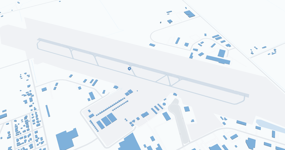
Merced Airport (MCE) | Terminal maps | Airport guide

Scroll down for detailed airport maps and terminal information
About Merced Airport
Merced/McReady Field Regional Airport (MCE), located in Merced, California, serves as a gateway to the Central Valley and Yosemite National Park. It is primarily served by Boutique Air, which offers direct flights to Las Vegas and Los Angeles and connects travelers to wider networks. The terminal has basic amenities such as parking, rental cars to explore the region and cabs. MCE is vital to travelers by facilitating access to local attractions and supporting regional tourism, making it an important hub for residents and visitors to Merced and the surrounding area.
Merced Airport Information
Airport Address:
20 Macready Dr, Merced, CA 95341, United States
Official Website:
Contact Number:
Airnav link:
Wikipedia link:
MCE Manager Information
Merced Airport Terminal Maps & Guides
MCE Airport Terminal
Merced Airport Parking
Merced Airport Ground Transportation
MCE Airport Transit
MCE Airport Shuttle
MCE Airport Taxi
MCE Airport Limo
Merced Airport Rental Cars
Merced Airport Hotels
Airlines Serving Merced Airport
Merced Airport Routes and Destinations
Merced Airport Weather 04/14/2025
Weather ForecastMCE Airport Map and Directions
MCE Airport Diagram
MCE Charts & Navaids
Latitude:
37-17-05.1000N (37.28475)
Longitude:
120-30-50.1000W (-120.5139167)
Elevation:
155.2 feet MSL (47 m MSL)
Magnetic Variation:
15E
From City:
2 N.M. SW of Merced, California
Found On:
San Francisco Chart
FAA Region:
AWP


