Home USA RI
KWST

Westerly State Airport (WST) | Terminal maps | Airport guide
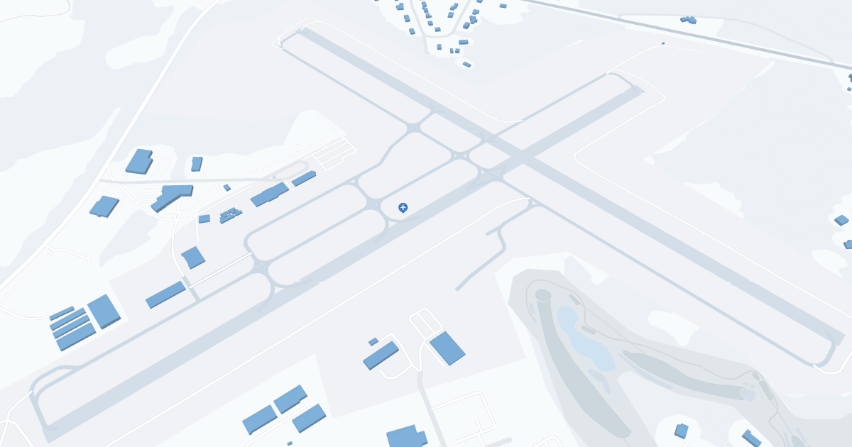
Westerly State Airport (WST) Map
Scroll down for detailed airport maps and terminal information

About Westerly State Airport

Westerly State Airport (WST), located in the picturesque town of Westerly, Rhode Island, serves as a vital gateway to the state's stunning southern coastline and all of New England. This airport is primarily for general aviation and offers convenient access to Rhode Island's beautiful beaches, luxury resorts, and historic attractions. Its proximity to popular vacation destinations such as Block Island, Newport and Mystic, Connecticut, makes it an ideal starting point for both leisure and business travelers. Westerly State Airport has essential amenities such as parking, car rental services and a welcoming terminal to ensure a comfortable travel experience. WST plays an important role in promoting local tourism and economic development in and around Westerly.

Westerly State Airport Information

Airport Address:
56 Airport Rd, Westerly, RI 02891, United States
Contact Number:

WST Manager Information

Manager:
IFTIKHAR AHMAD
Address:
RHODE ISLAND AIRPORT CORP, 2000 POST RD
Telephone:

Westerly State Airport Terminal Maps & Guides

WST Airport Terminal

Westerly State Airport Parking

Propark Mobility

257 Atlantic Ave, Westerly, RI 02891, Westerly

WST - Parking

56 Airport Rd, Westerly, RI 02891, United States, Westerly

(401) 596-2357

Westerly State Airport Ground Transportation


WST Airport Taxi

Wright's Taxi

Westerly , RI 02891

(401) 596-8294

Westerly State Airport Rental Cars

Enterprise Rent A Car
Hours of Operation:
24 Hours, 7 Days a Week
Open For Final Arrival:
Yes

13 E Ave, Westerly

(401) 596-7847

Westerly State Airport Hotels

Aquastar Inn at Westerly

Welcome to Aquastar Inn at Westerly, a coastal New England style inn that offers a natural beauty, warm hospitality and suitable stay surrounded by sand, sun, swim, sunbath, surf, shops, beaches, ponds, family fun, fishing and golfing within few miles makes it a perfect location for vacationers and beach and camp lovers

Distance from Airport:
Distance from Airport 0.8 miles
Free Airport Shuttle:
No

110 Post Road, RI, Westerly, 02891

(401) 596-2892

Ocean House

One of the last remaining grand oceanfront hotels and resorts in New England, the Ocean House is a celebration of the golden age of leisure and beachfront hospitality. From elegantly appointed interiors and impeccable intimate spaces to inviting porches, serene terraces, and sweeping grounds that lead down to the luxury of a sun-drenched private beach, the Ocean House is a hotel where guests are always treated as cherished friends and houseguests.

Distance from Airport:
Distance from Airport 3.7 miles
Free Airport Shuttle:
No

1 Bluff Ave, RI, Westerly, 02891

(401) 315-0579

Sand Dollar Inn Westerly

The Sand Dollar Inn offers lodging convenient to the unspoiled beaches and rivers of South County, Rhode Island in Westerly. We are just minutes to many restaurants, golfing, shopping, swimming, and museums, Mystic Aquarium, Mystic Seaport and Watch Hill. We offer impeccably clean and comfortable accommodations with A/C, individually zoned heat, cable TV, touch tone phones, mini freezer, and private baths. The bathrooms were all recently renovated in the Fall of 2009.

Distance from Airport:
Distance from Airport 1.4 miles
Free Airport Shuttle:
No

171 Post Road, RI, Westerly, 02891

(401) 322-2000

Airlines Serving Westerly State Airport

Westerly State Airport Routes and Destinations

Westerly State Airport Weather 11/21/2024

Weather Forecast
Sunny

Overnight

41

Rain Likely

Sunny

Thursday

53

Rain and Patchy Fog

Sunny

Thursday Night

39

Rain Likely then Chance Rain

Sunny

Friday

50

Rain

Sunny

Friday Night

34

Rain

Sunny

Saturday

51

Rain Likely

Sunny

Saturday Night

38

Partly Cloudy

Sunny

Sunday

52

Sunny

Sunny

Sunday Night

36

Mostly Clear

Sunny

Monday

54

Mostly Sunny

Sunny

Monday Night

38

Mostly Cloudy

Sunny

Tuesday

54

Partly Sunny

Sunny

Tuesday Night

33

Partly Cloudy

WST Airport Map and Directions


WST Airport Diagram

WST Charts & Navaids

Latitude:
37-37-07.7000N (37.618806)
Longitude:
122-22-31-5000W (-122.375417)
Elevation:
13.1 feet MSL (4 m MSL)
Magnetic Variation:
13.2 E (as of March 2022 from WMM2020 model)
Time Zone:
UTC -8.0 (Standard Time)
UTC -7.0 (Daylight Savings Time)
From City:
08 N.M. SE of San Francisco, California
Found On:
San Francisco Chart
FAA Region:
AWP
Close
press and move the map